TNTatlas 2022 B20221207 freeware

TNTatlas is a powerful free geodata viewer that lets you publish and distribute your maps and geospatial data — from a single geodata file to complex map layouts prepared using TNTmips. TNTatlas lets you display massive sized geodata and will directly display numerous file formats including shapefiles, GeoTIFF, JP2, PNG, MrSID, DXF, and DWG. ...

Author MicroImages, Inc.
Released 2022-12-07
Filesize 59.00 MB
Downloads 2380
OS Windows XP, Windows Vista, Windows Vista x64, Windows 7, Windows 7 x64, Windows 8, Windows 8 x64, Windows 10, Windows 10 x64, Windows 11
Installation Instal And Uninstall
Keywords geospatial viewer, view atlas, visualize geospatial data, atlas, map, viewer
Users' rating
(58 rating)
TNTatlasCADWindows XP, Windows Vista, Windows Vista x64, Windows 7, Windows 7 x64, Windows 8, Windows 8 x64, Windows 10, Windows 10 x64, Windows 11
TNTatlas - custom Freeware Download Notice

TNTatlas Free Download - we do not host any TNTatlas torrent files or links of TNTatlas on rapidshare.com, depositfiles.com, megaupload.com etc. All TNTatlas download links are direct TNTatlas download from publisher site or their selected mirrors.

TNTatlas freeware - The Latest User Reviews
TNTatlas freeware - The Latest Versions History
2022 B202212 Dec 7, 2022 New Release
2022 B202211 Nov 30, 2022 New Release
2022 B202211 Nov 23, 2022 New Release

Most popular CAD freeware downloads

Panoply for Mac

5.3.4 freeware download

... and catalogues, to adjust the scale range, to customize labels, vectors, to overlay masks, and so on. ... for the scale colorbar, or apply your own custom ACT, CPT, or RGB color table. Save plots ...

TNTmips for Mac OS X

20240111 freeware download

... SML, provides a wide range of options for custom display and processing of your geospatial data. Construct and transform representations of natural terrains and ...

LTspice IV

24.0.12 freeware download

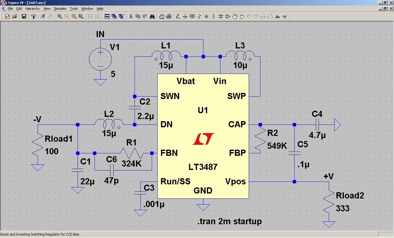
LTspice IV is a high performance SPICE simulator, schematic capture and waveform viewer with enhancements and models for easing the simulation of switching regulators. Our enhancements ...

New Version

TNTmips

20240404 freeware download

... SML, provides a wide range of options for custom display and processing of your geospatial data. Construct and transform representations of natural terrains and ...

Pad2Pad

1.9.150 freeware download

... is the remarkable new way to get the custom printed circuit boards you need. Download our free PCB software, design your board, and click to ...

GeoMapApp

3.7.1 freeware download

... and more. GeoMapApp provides data layering, display customization and analytical tools to support the analysis of ... the color palette, shaded relief, and contouring are customizable; users may also extract profiles and digitize grids. ...

Mobile Atlas Creator for Mac OS X

2.2.1 freeware download

... SQLite format (Android) CacheBox (Windows Mobile) Cachewolf Garmin Custom Map - KMZ (GPS handhelds) Glopus (Pocket PC) ... using Drag & Drop Create map tiles using custom size and image format (PNG/JPG) Fast download of ...

VEGA ZZ

3.2.3.28 freeware download

... for an incredible real-time rendering quality: lighting (4 customizable light sources + ambient light), alpha blending, hardware ... methods: atom, residue, chain, segment, molecule, constraints and custom. Atom selection & picking. 3D surface: ...

Mobile Atlas Creator

2.2.1 freeware download

... SQLite format (Android) CacheBox (Windows Mobile) Cachewolf Garmin Custom Map - KMZ (GPS handhelds) Glopus (Pocket PC) ... using Drag & Drop Create map tiles using custom size and image format (PNG/JPG) Fast download of ...

Cytoscape x64

3.10.0 freeware download

... and networks. For example, input a set of custom annotation terms for your proteins, create a set of confidence values for your protein-protein interactions. ...