Featured software
21st century worldwide growth of Forest - a natural development simulation
Fly anywhere on Earth to view satellite imagery, maps, terrain, 3D buildings etc
Fly anywhere on Earth to view satellite imagery, maps, terrain, 3D buildings etc
An application that can convert between various Geographic Coordinate Systems
An application that can convert between various Geographic Coordinate Systems
An application that can convert between various Geographic Coordinate Systems
Open source, free software geographical information system
Open source, free software geographical information system
Open source, free software geographical information system
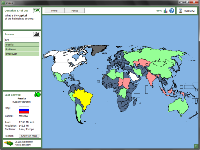
Covering all countries and capitals of the world
Combine GPS data editor & real-time navigation with Google Maps and Google Earth
GeoTransformer focuses on making it easier for geocachers to process GPX filles
Latitude Longitude app to get or share map coordinates of your current location
Get Free maps from openstreetmap.org, and upload them to your Garmin GPS!